Mount Mokoto
Tags: French Polynesia, Mangareva, hiking, sailing
Date: July 10, 2026
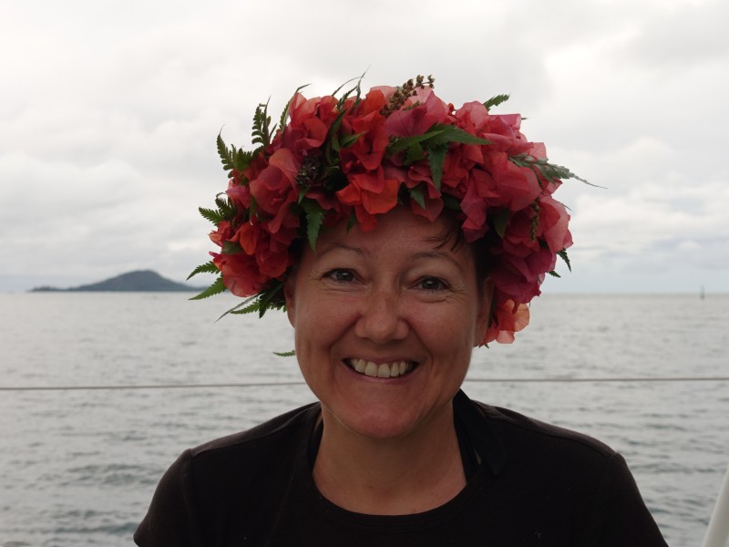
The day after our visit at Hervé and Valérie's, while we were anchored off Rikitea, Hervé and his son stopped at our boat to drop off a birthday present for me. It was a beautiful traditional Polynesian flower crown made by Valérie from ferns and pink bougainvillea flowers:
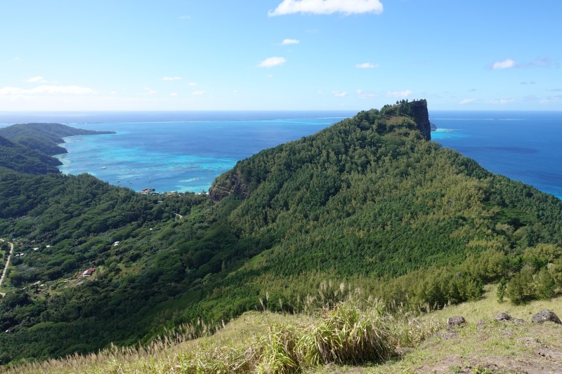
A couple of days later we decided to hike up the second tallest peak on Mangareva, Mount Mokoto, which is at 426 m. At the top there was amazing views to all sides. First the view of the tallest peak, Mount Auorotini, aka Mount Duff at 441 m:
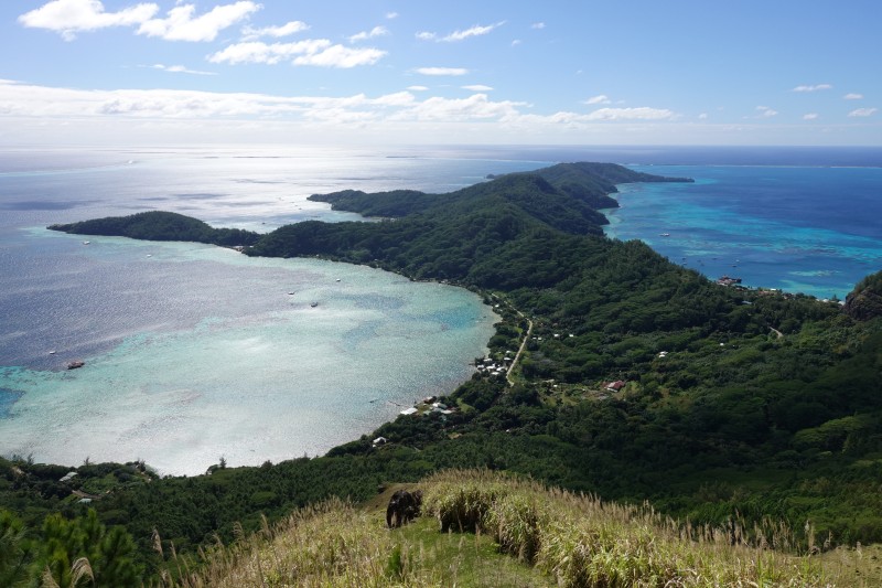
Then turning left and looking towards the northeastern tip of Mangareva with the Gatavake settlement on the left shore and Rikitiea barely visible of the right:
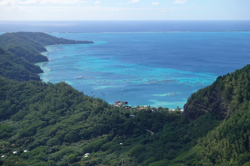
Here is more of a close up of Rikitea and the town dock with the supply ship is visible:
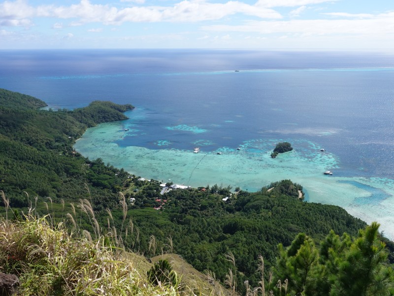
Continuing turning left, we overlook the southern part of Gatavake Bay with the Islet Rumanei in the middle and the settlement Atiaoha:
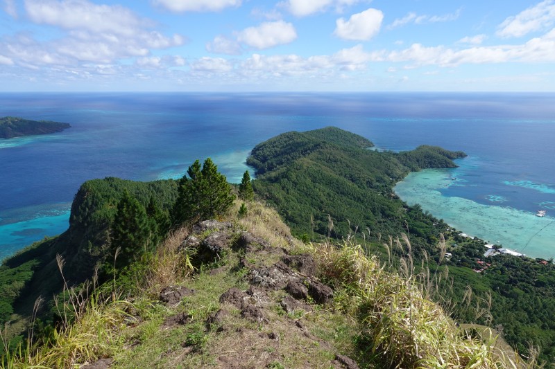
Then turning a little further to the left we see the southwestern tip of Mangareva:
Further left we can see over the pass to Taravai:
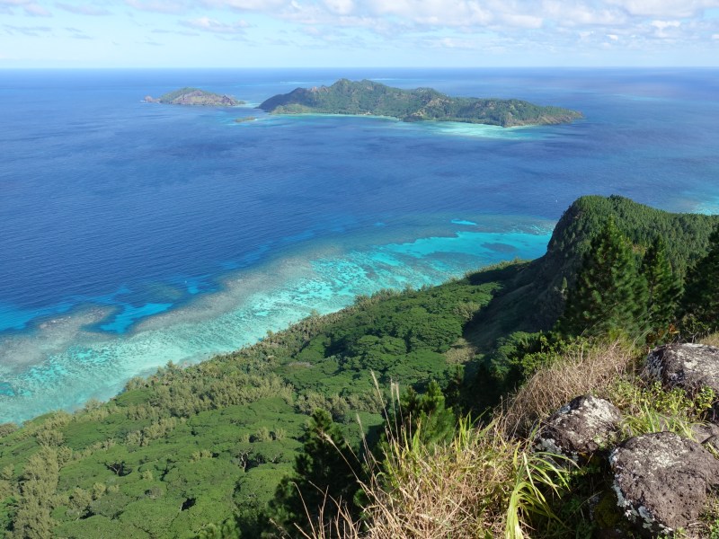
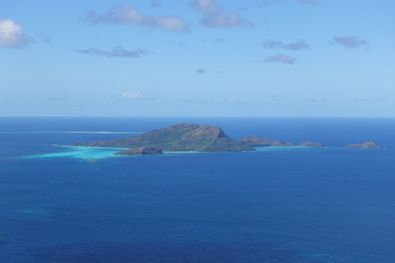
Finally we look towards Akumaru, the island where we bought vanilla:
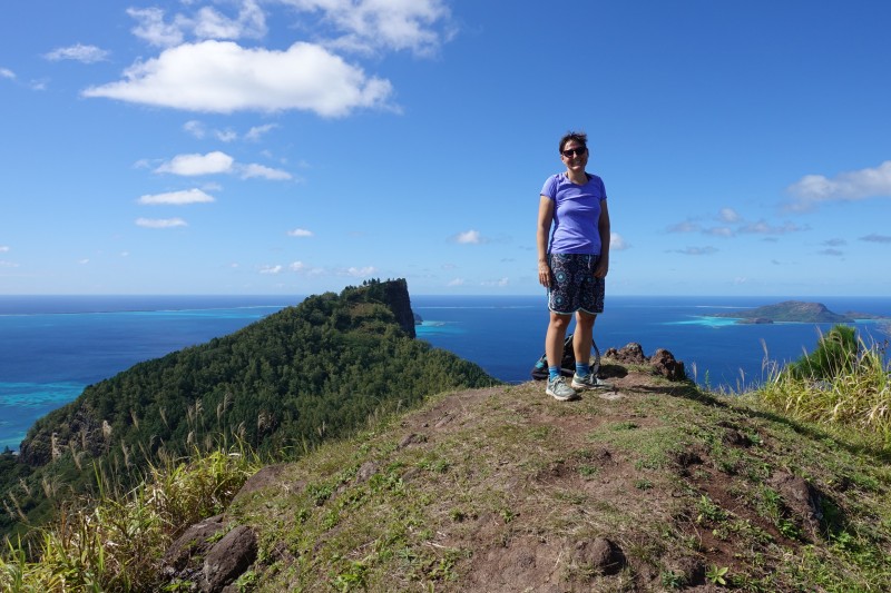
The obligatory picture of Félicie at the peak with Mount Auorotini/Duff in the background:
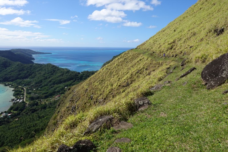
We followed a broad grass covered trail along the northern slope of Mount Mokoto towards the southwestern tip of Mangareva:
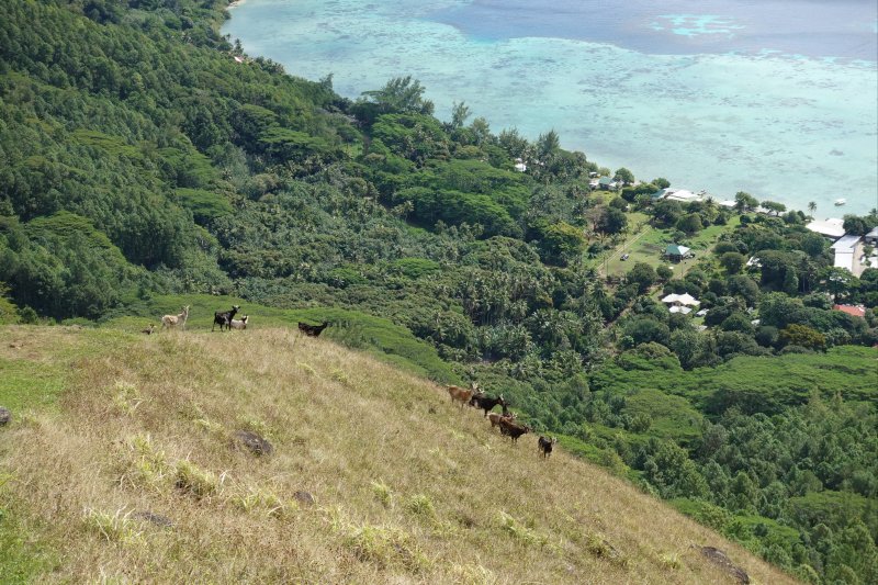
The slopes of Mount Mokoto had quite a few feral goats:
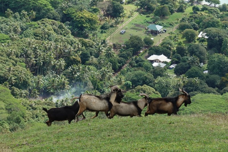
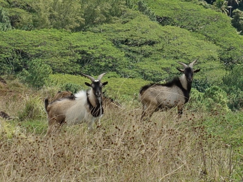
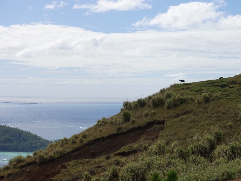
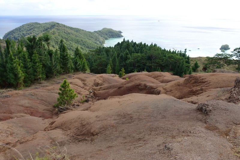
There was a large patch of completely bare ground, maybe due to erosion:
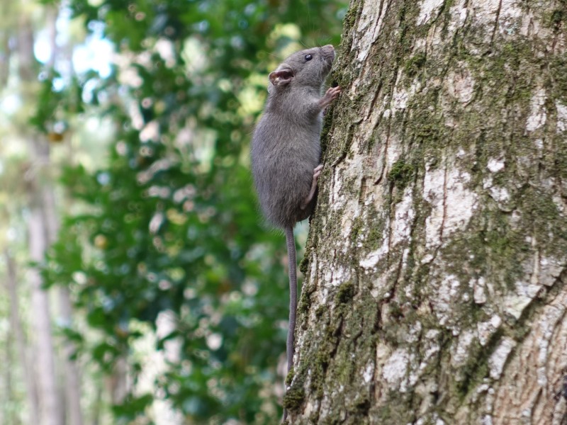
One of the many, many rats we saw during our hikes on Mangareva:
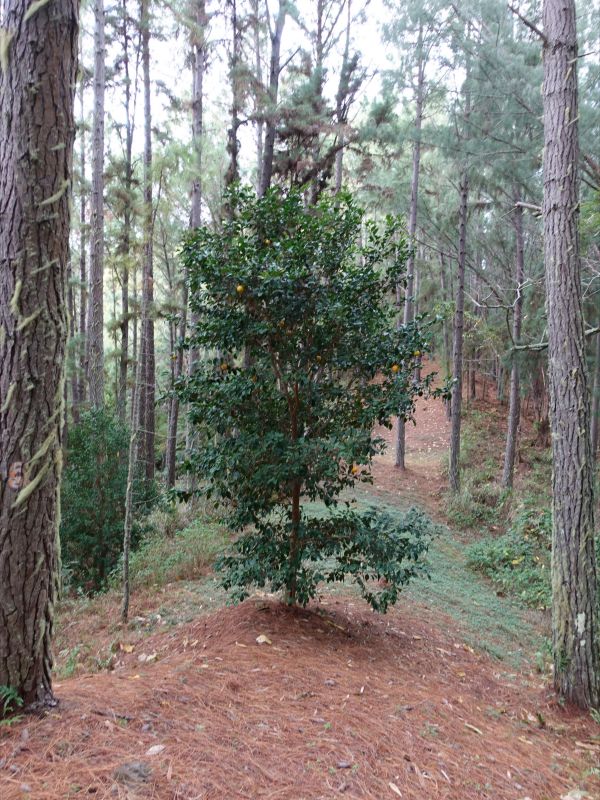
A bitter orange tree growing right on top of the ridge among the fir trees:
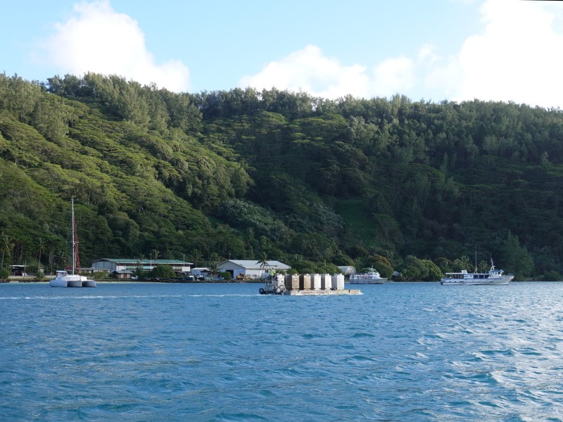
Back at the anchorage we saw a barge moving ten fuel containers from the supply ship to the fuel dock: