Hiking the south part of Mangareva
Tags: French Polynesia, Gambier Islands, Mangareva, hiking
Date: June 16, 2026
Soon it was time for another visit to the anchorage off Rikitea to await the supply boat's arrival. We went for a couple of hikes south of Rikitea along the southern coast of Mangareva.
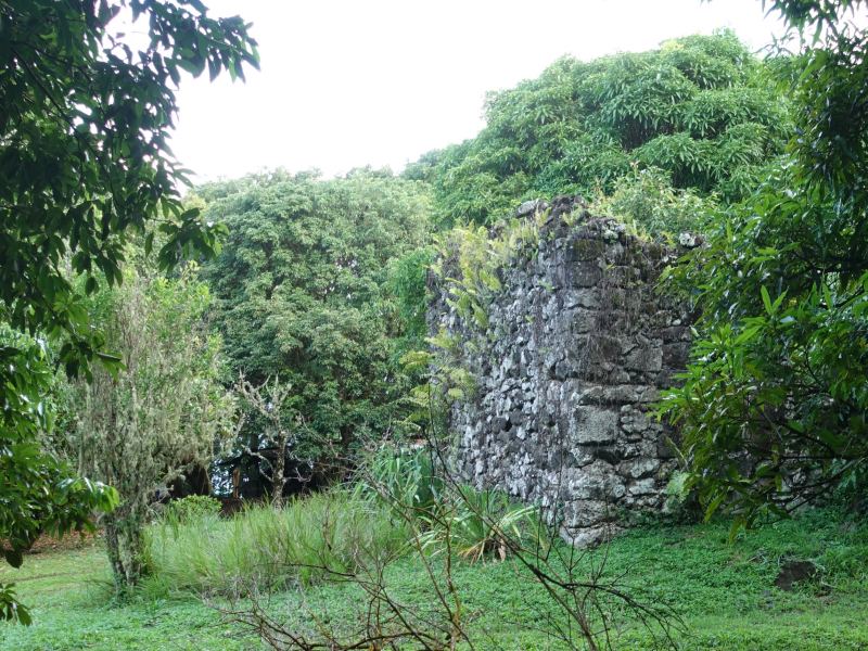
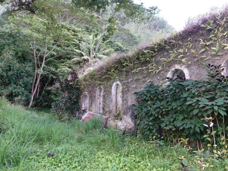
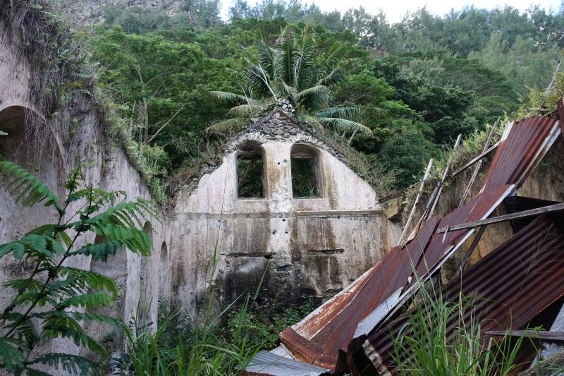
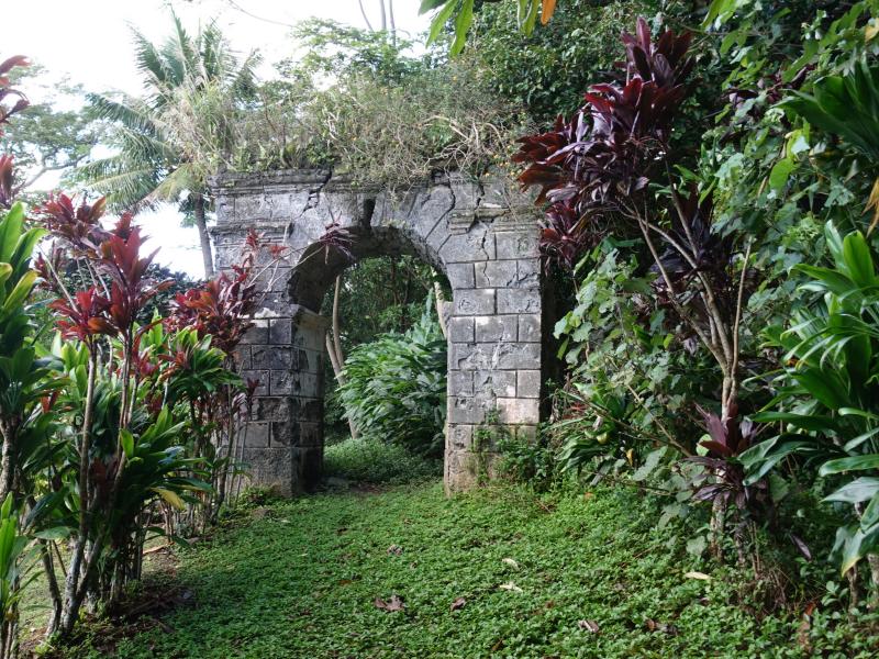
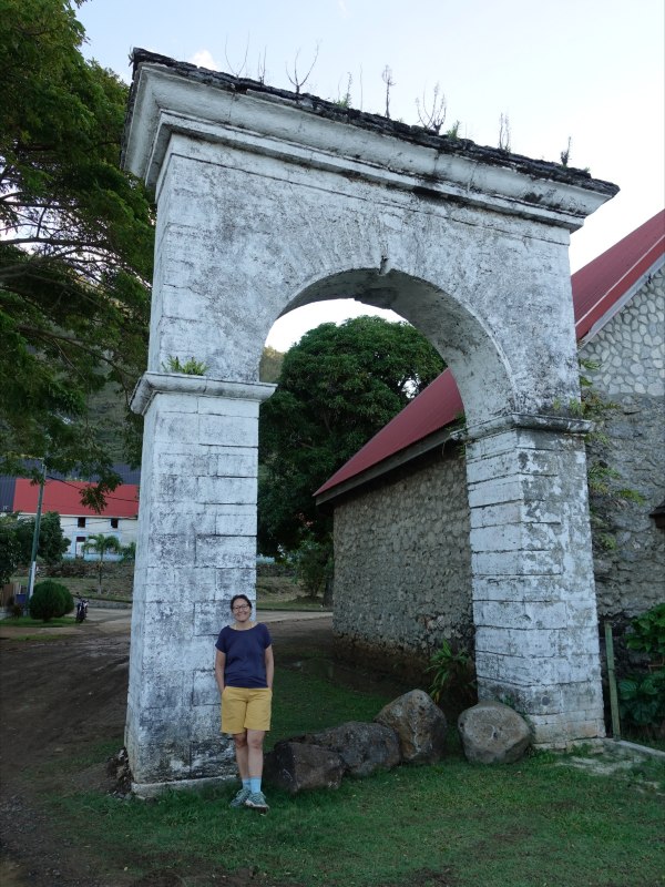
On this side of town, quite a few ruins can be found. Some of them belonged to the Couvent Roury, built 1636-42 and used in the missionary work at the Gambier Islands to educate native woman and children to the Christian way of living. The convent once housed up to 150 women and children but was closed down in 1903 and the buildings left to fall into disrepair:
The convent used to cover a large area and was completely enclosed by a wall with entrance through this stone arch:
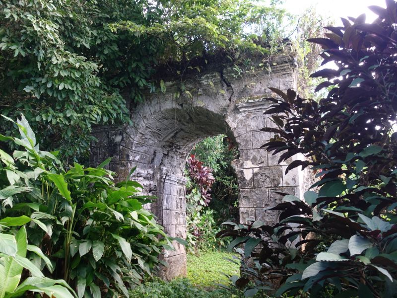
Looking at the stone arch entrance from outside:
A trail led from the arch towards town and we followed it for bit until we came to the so called Queen's or Princess's bathtub, called Po’atu o Kame in the Mangarevan language.
It was carved from a large rock that probably rolled down from the steep cliffs of nearby Mount Duff. According to local legend it never dries out.
When we were there it was definitely full of water but it had rained quite a bit the previous day and in the morning before our hike.
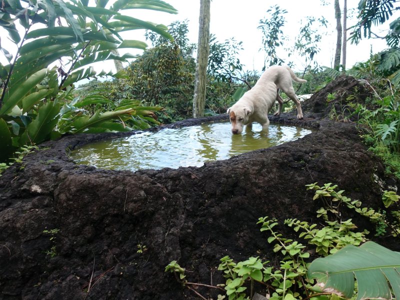
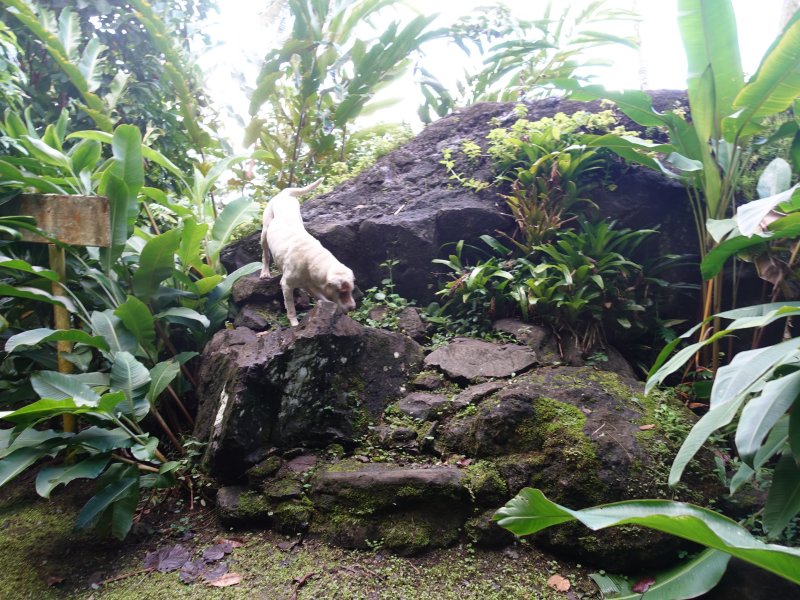
The dog drinking from the pool was a dog that decided to accompany us on our hike that day:
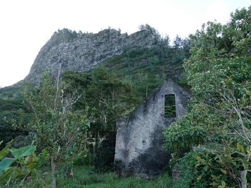
Back to the convent with the sheer cliffs of Mount Duff in the background:
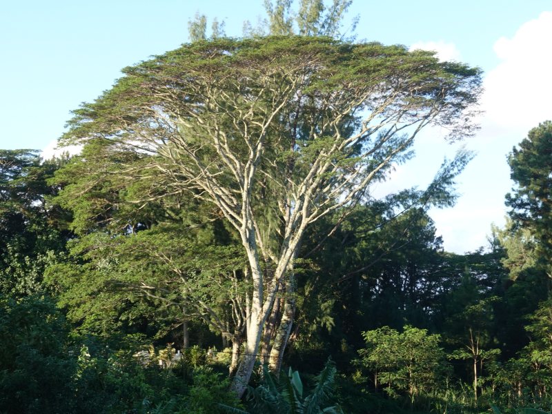
A lovely big tree in the late afternoon sun:
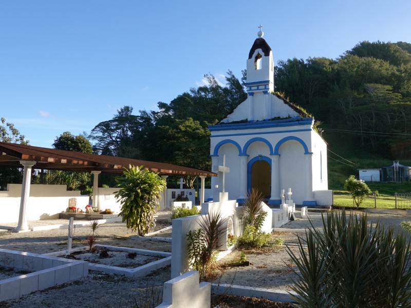
As we returned to town, we stopped at the Chapelle St-Pierre, where the last king of Mangareva, Te Maputeoa, is buried. He took the name Gregorio Stanislas when he was baptized in 1636. He died in 1857 and was succeeded by his 10 year old son Joseph Gregorio II who died only 11 years later without any heirs.
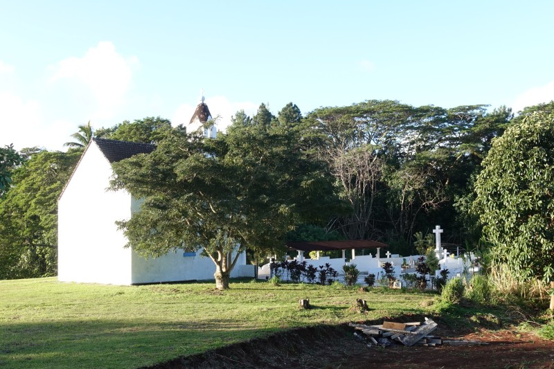
The chapel is surrounded by a small active cemetery:
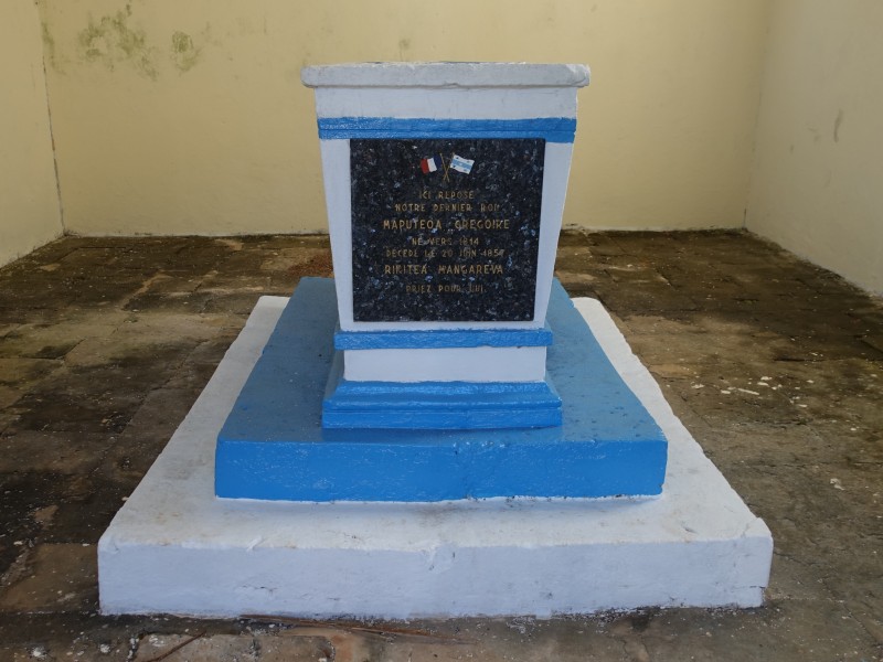
Inside the chapel is a stone commemorating Maputeoa:
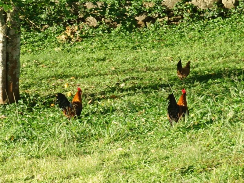
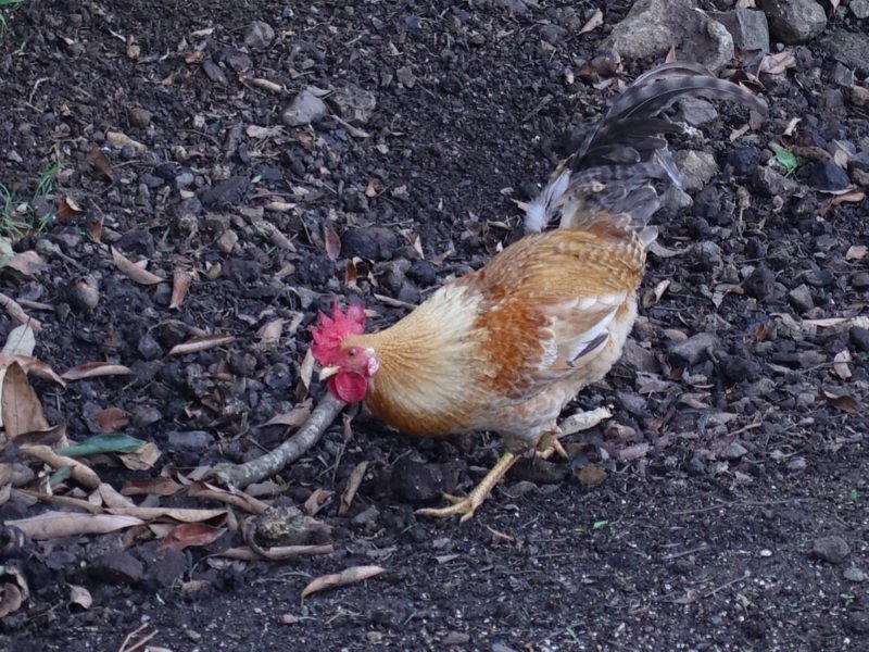
Outside the chapel chickens were running around as they do all over the island. They even live wild in the forest.
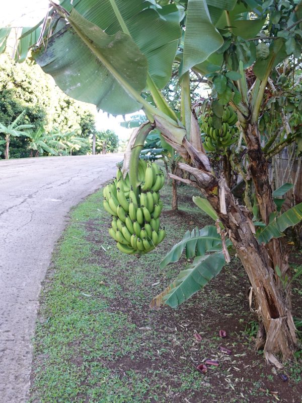
A banana tree on the side of the road.
More chickens:
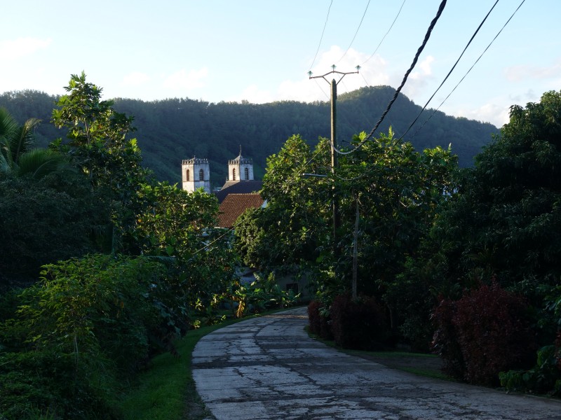
As we were getting closer to Rikitea we caught the twin towers of the St. Pierre Cathedral in the evening light:
Past the cathedral is the school with this tower, the so-called King Maputeoa’s tower, sitting in the middle of the schoolyard:
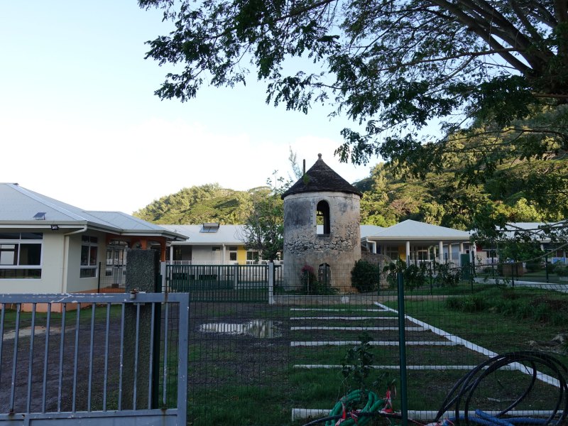
The turret is apparently the remains of a palace built for Maputeoa by Honoré Laval, the catholic missionary who arrived i Gambier Islands in 1834 and baptized the king i 1836:
We suppose this arch right outside the shoolyard may also have been part of the palace:
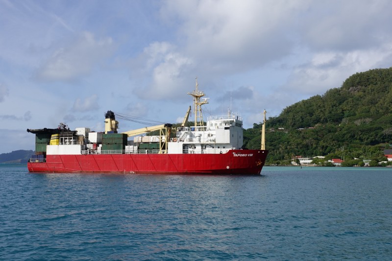
The next day the supply ship arrived. We were anchored in the first row so got a good view of the ship as it was docking:
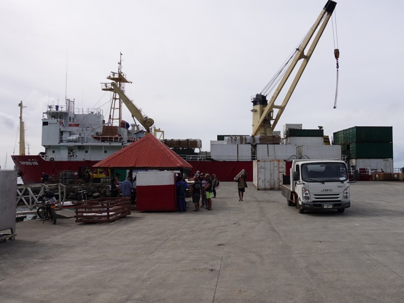
Shortly after, we went ashore to go for another hike while all the locals were busy unloading the ship:
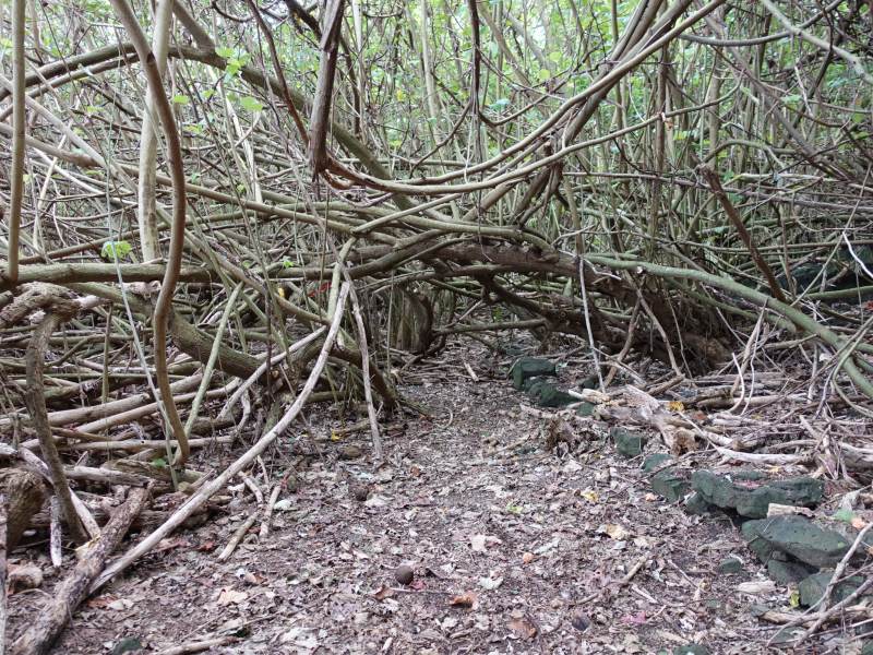
This hike also went out of Rikitea to the south but we continued a lot further than the day before. We went onto a coastal trail called the trail of the 12 apostles. It was established in the 1850s starting inside the grounds of the Couvent Rouru and running along the coast all the way to the western tip of Mangareva. Some of it is along the beach but most is a chaotic tangle of jungle as seen below:
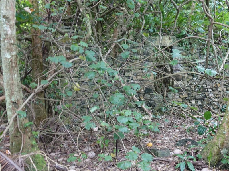
A ruin barely visible behind the vegetation:
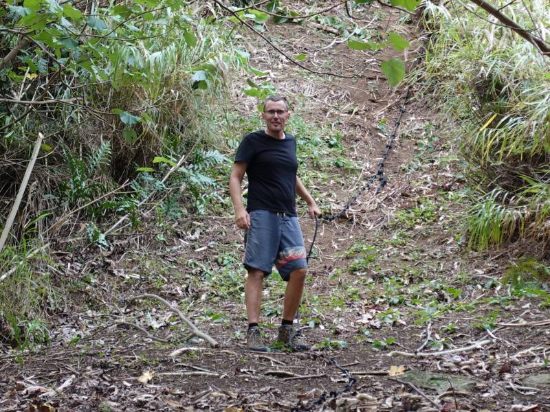
We did not go all the way to the end but turned around at an outcropping with a hill that needed to be climbed to be able to continue. Here is Bjarne as he is descending from the hill using the rope that has been permanently installed to help:
Here is Bjarne again with our faithful dog guide:
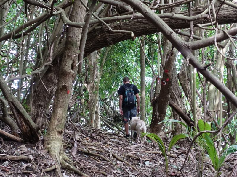
It is the same dog that walked with us the day before. It simply turned up on the road a some point and hiked with us the whole day. It didn't leave us until we reached the cathedral as we entered Rikitea.