Hiking in Rondane, Norway, part 1
Date: September 27, 2025
We were in Denmark over the summer and in late September, Bjarne and his friend Ulrik went for a hiking trip to the mountains in Rondane National Park in Norway. The park has ten peaks over 2000 meters and the goal was to climb some of them.
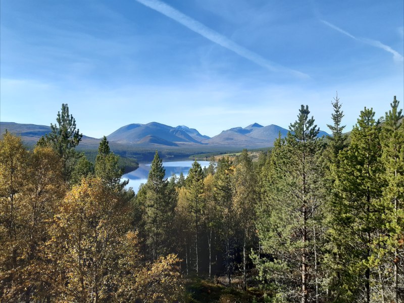
Here is a view of the central mountains from the road leading to the park:
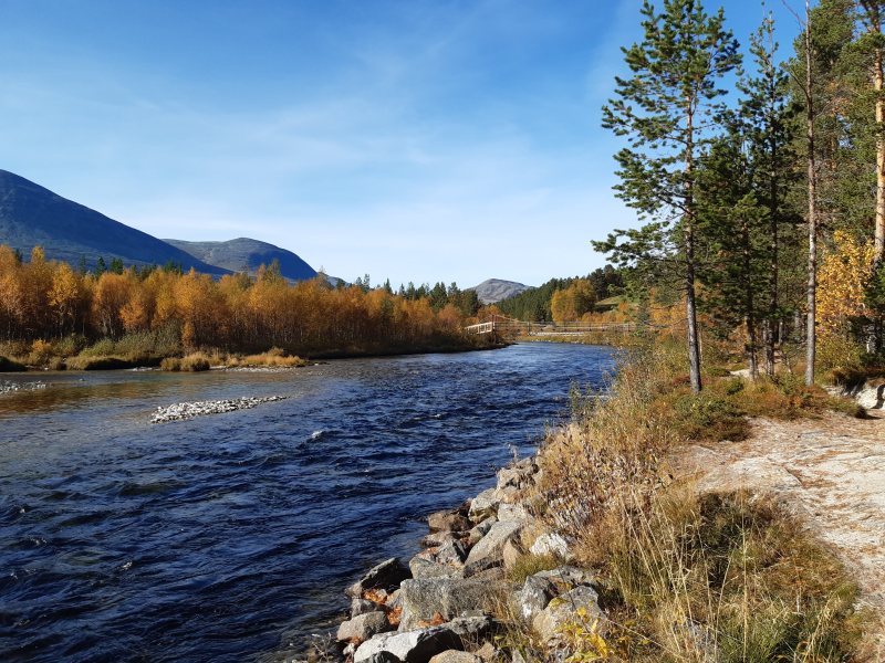
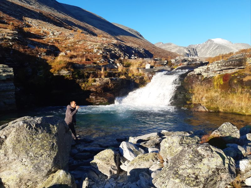
As you can see, the weather was great. The first goal was to set up camp a few km away from the parking lot. We had to cross the river using the hanging bridge you can see in the distance here:
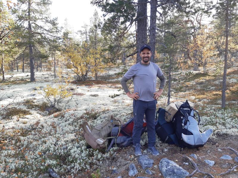
After hiking up the path we found a good spot for the camp. We had brought lots of gear:
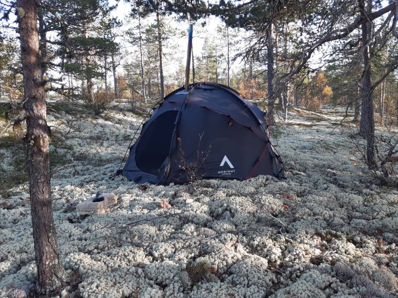
Ulrik's large tent with a titanium wood stove installed (notice the chimney):
Dinner in the tent:
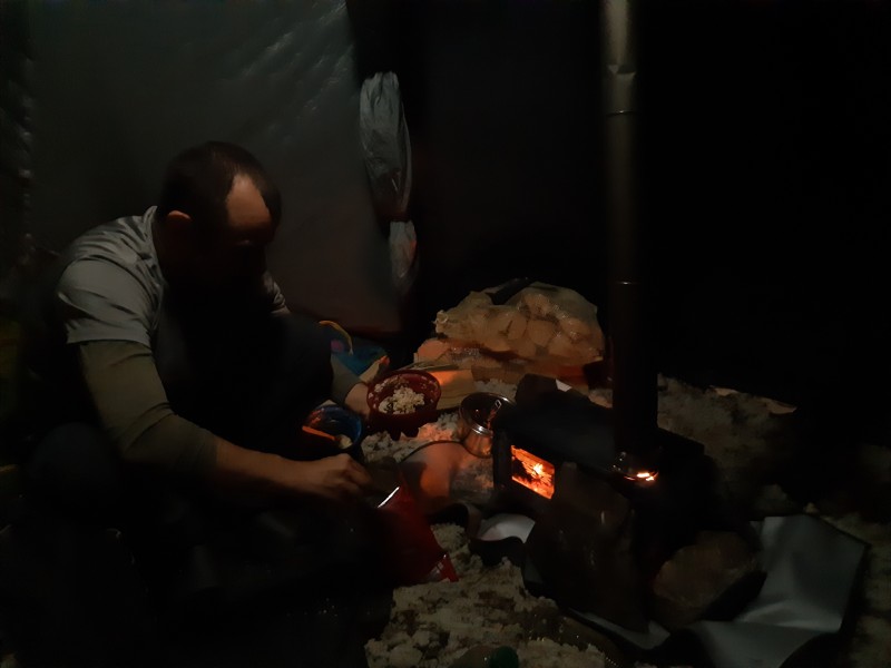
The first night was cold with frost on the tent in the morning, but even as the oven died out in the evening we were comfortable in our winter sleeping bags.
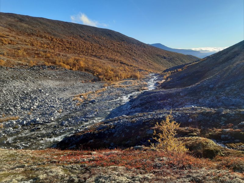
The first full day in the mountains involved climbing four peaks, but first we had to hike quite a way up the valley:
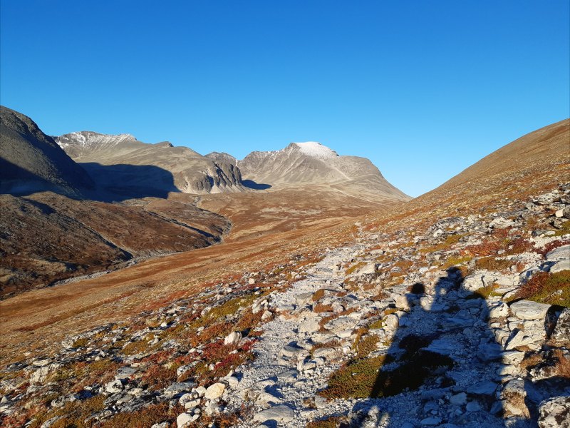
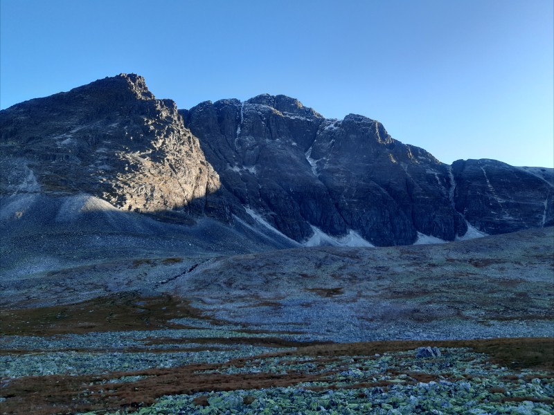
The mountains you can see in this picture are south of the valley with Rondslottet having the most snow. The peaks of this first day are on the north side of the valley, so behind the hill on the right.
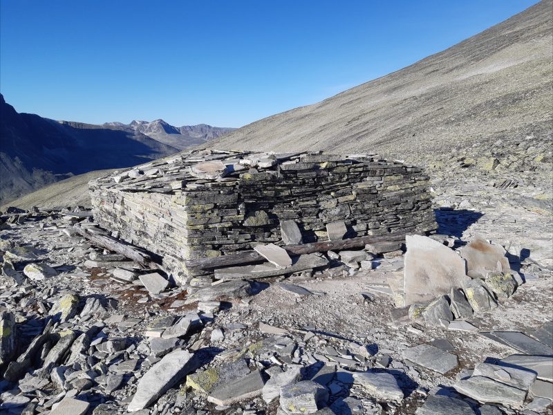
An old stone hut on the way to the first peak:
Higher up, there was a bit of snow:
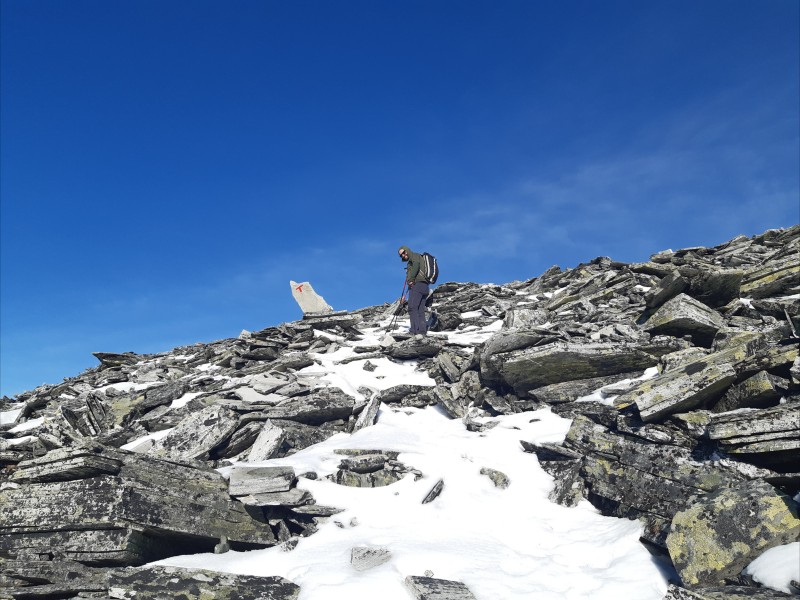
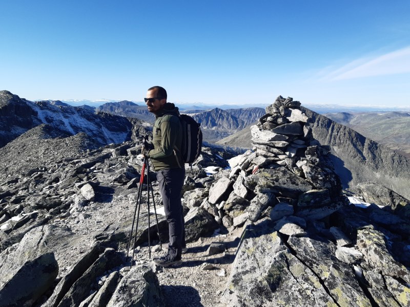
Ulrik on the top of Högronden at 2115 m elevation:
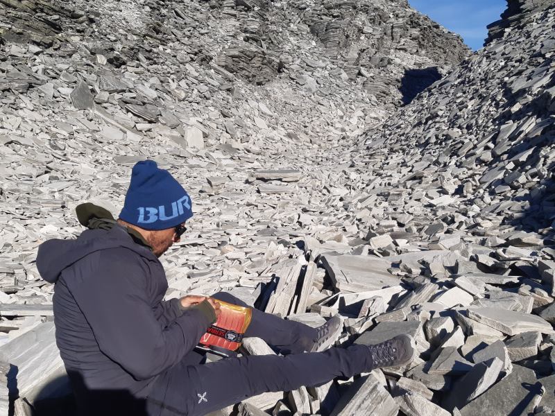
Lunch in a rocky area next to the pass between Högronden and Midtronden:
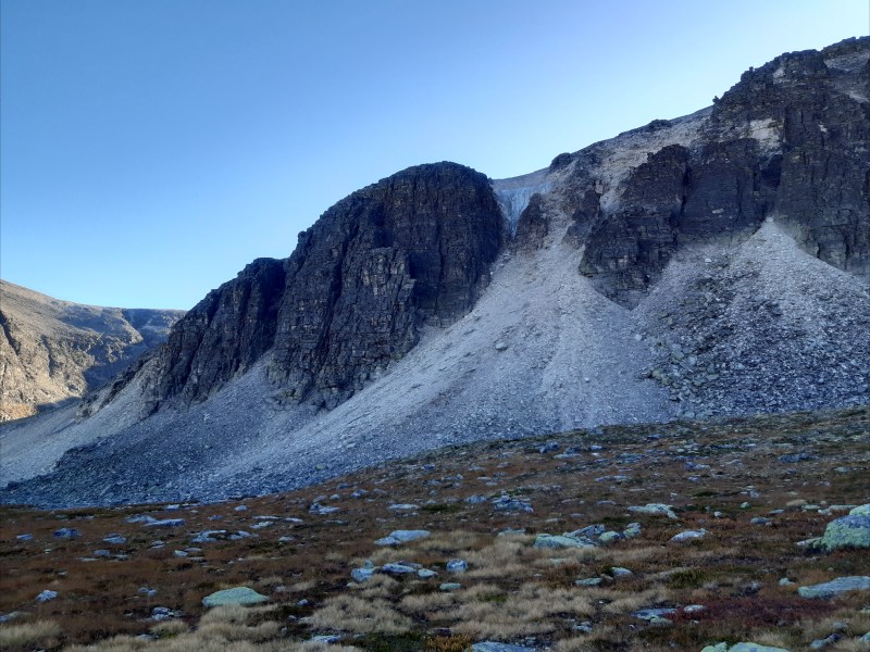
The next couple of peaks were Midtronden East and West. Here is a view of Midtronden West:
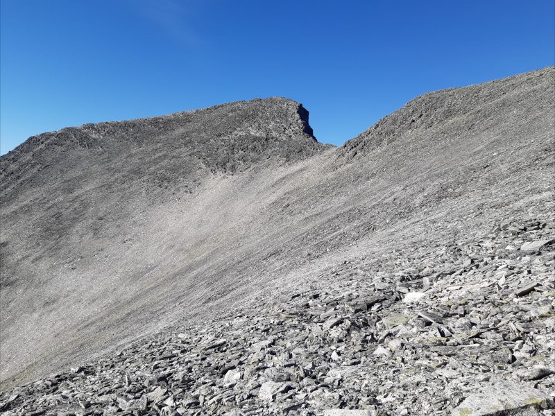
As you can see, the entire mountain is made up of loose rocks making the hiking very strenuous.
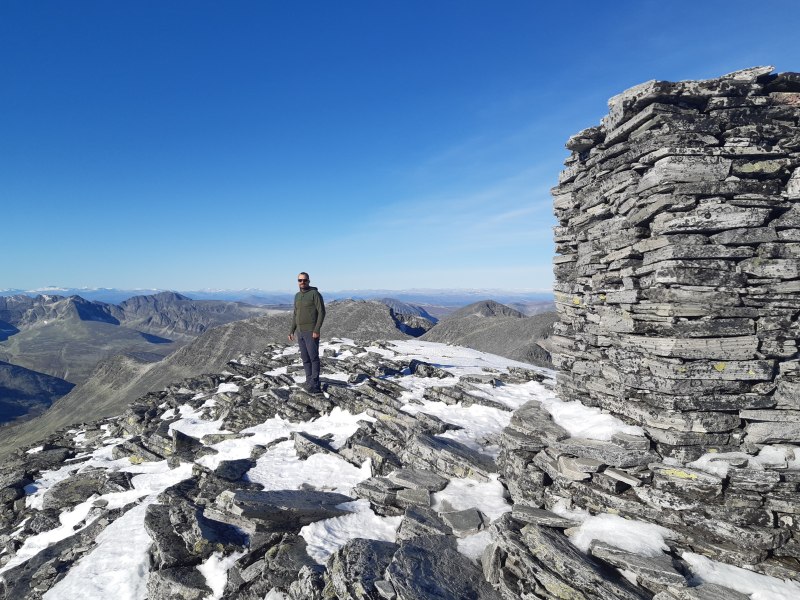
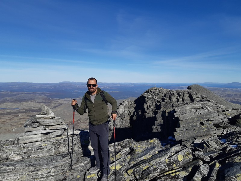
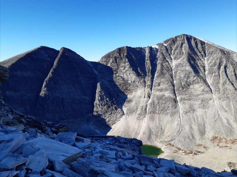
We first made it to Midtronden East at 2042 m elevation:
And then Midtronden West at 2060 m elevation:
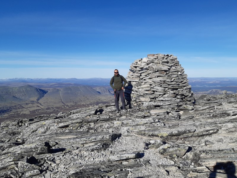
Finally, we made it to Digerronden at 2016 elevation:
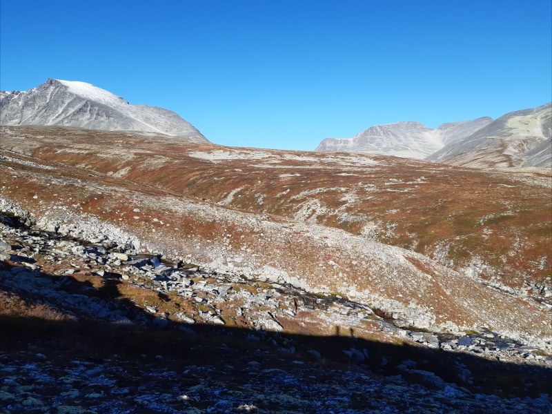
Getting down from Digerronden was slow and tiring because of all the loose rocks. Once we made it to the valley, we still had 12.5 km to hike back to camp. Here is a picture from the way back:
The second full day started with a hike up the same valley, but this time we focused on the mountains south of the valley. We had to cross a large river. Here, Ulrik is filling water bottles and tasting the water to make sure it is good:
Luckily there is a bridge over the river:

We hiked up the north side of the river with no real trail:
The first peak of the day was Storronden. Here you can see the endless boulder field leading up to the top:
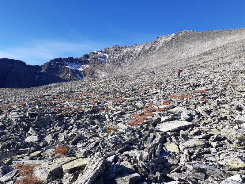
You can see Ulrik making his way up.
We were hiking with a full backpack, because we were going to camp in a small tent for a single night in the mountains. It turned out that Storronden couldn't really be climbed from the north east by normal hikers like us, so we had to turn around and head back down the endless boulder field. Here is a view of Vinjeronden and Rondslottet from a small pass at about 1860 m elevation on the way down:
We set up camp in an elevation of about 1360 m close to a nice lake:
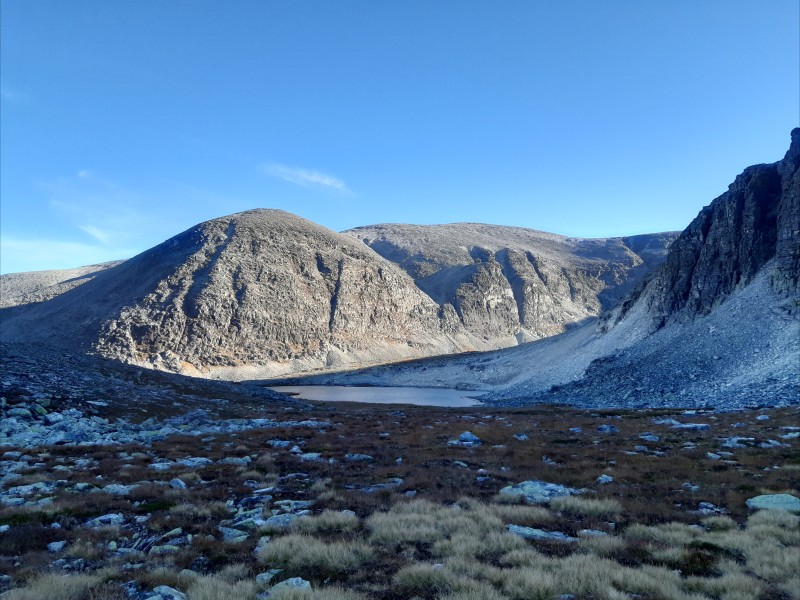
The rock wall next to the lake: