Lake Rotoiti and Franz Josef Glacier
Tags: Franz Josef, Lake Rotoiti, New Zealand, Picton approach
Date: December 20, 2024
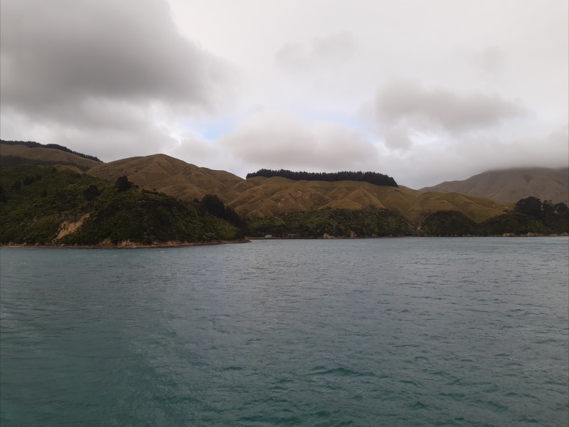
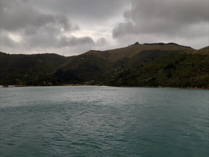
We crossed by ferry from rainy and windy Wellington on the North Island (and the capital of New Zealand) to Picton on the South Island. Here are a couple of grey-skied pictures from the sheltered approach into Picton:
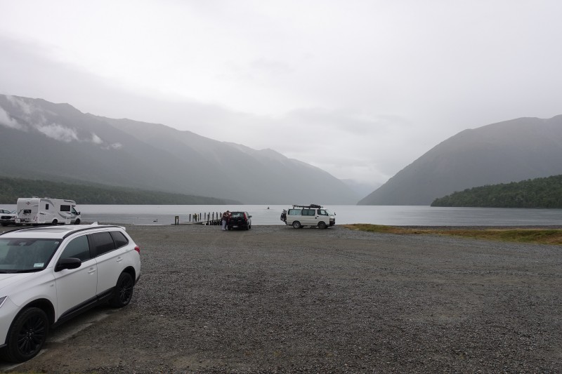
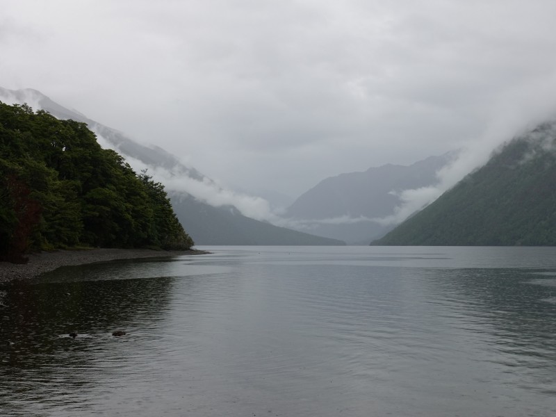
After staying the night in a small bed and breakfast in Picton we continued south and stopped at Lake Rotoito to go for a walk along the shores of the lake. It was again a grey and cloudy day with a drizzling rain from time to time:
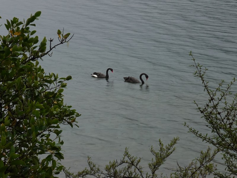
A couple of black swans:
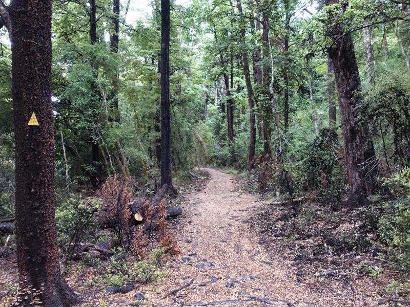
Most on the time we were walking in forest:
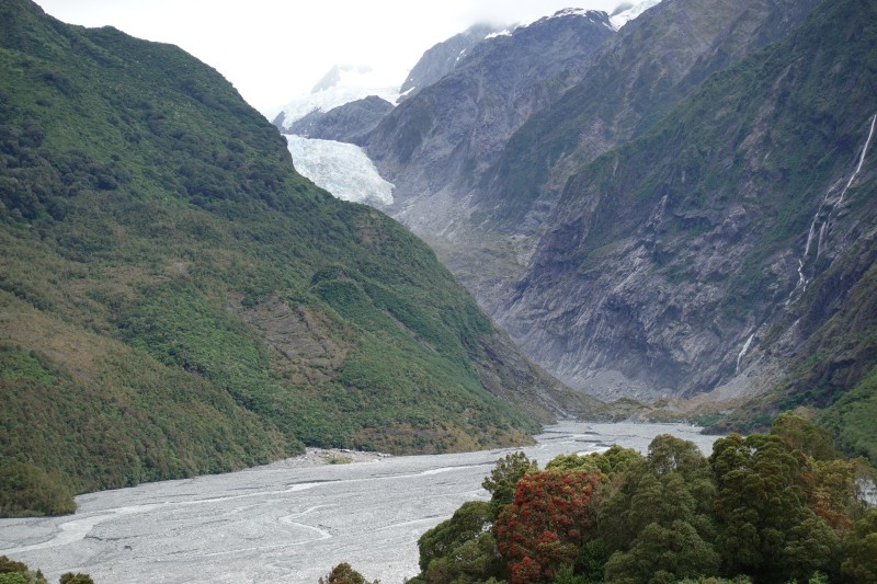
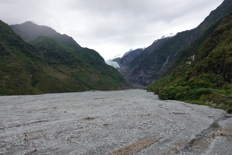
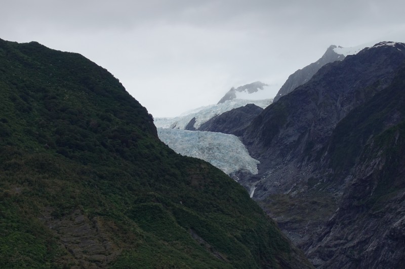
After some more driving, we arrived at The Franz Josef Glacier which is a 12 km long temperate maritime glacier on the West Coast of New Zealand's South Island:

It descends from the so-called Southern Alps to less than 300 m above sea level. It was named after Emperor Franz Joseph I of Austria by the German geologist Julius von Haast in 1865 but obviously had an earlier Maori name: Kā Roimata o Hine Hukatere, which means "The tears of Hine Hukatere". The story is that Hine Hukatere lost her lover Tuawe in an avalanche and Hine Hukatere's many tears over his death were turned into ice to form the glacier by Rangi the Sky Father.
The snowfield at the top of the glacier is over 2,500 m above sea level and covers an area of about 20 km2. It is over 300 m deep and feeds large amounts of compacted snow into a steep and narrow valley dropping quickly to very low altitudes. This allows the glacier to share a valley with temperate rain forest.
The Franz Josef Glacier has a cyclic pattern of advance and retreat, driven by differences between the volume of melting water at the foot of the glacier and the volume of snowfall feeding the snowfield at the top. About 18,000 years ago, near the end of the last ice age, it extended to the present-day coastline or even beyond, whereas now, it terminates 19 km from the Tasman Sea. Between its first official mapping in 1893 and a century later in 1983, Franz Josef Glacier had retreated 3 km up the valley. Between 1983 and now, the glacier went forward by about 1,500 meters and then back again to its 1983 position. The picture below is taken from the lookout about 3,000 m from the main terminal face of the glacier, so in 1893 the glacier would have extended right down to the point where the photo is taken and completely have covered the valley floor:
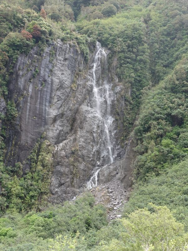
Waterfall down the side of the valley:
Until 2012 it was possible to walk up to the glacier on a path on the right-hand side of the valley as seen below but the path was closed after the terminal face of the glacier collapsed, due to danger of further collapses. The only way to get to the glacier now is by helicopter, which judged by the number of helicopters in the air at any time is very popular.